Scott Aerial Imaging
Drone surveying, 3D Orthomosaic mapping, videography and photography services.
Drone Survey + Inspection
All aspects of building and land surveying including LiDAR and Thermal imaging capabilities, Utilities inspections, Confined Spaces surveys and Asset Integrity & Inspection.
Videography + Photography
We can capture your property or project in stunning high resolution and create promotional content to suit your needs. We offer various shooting methods including FPV and 360 degree Video.
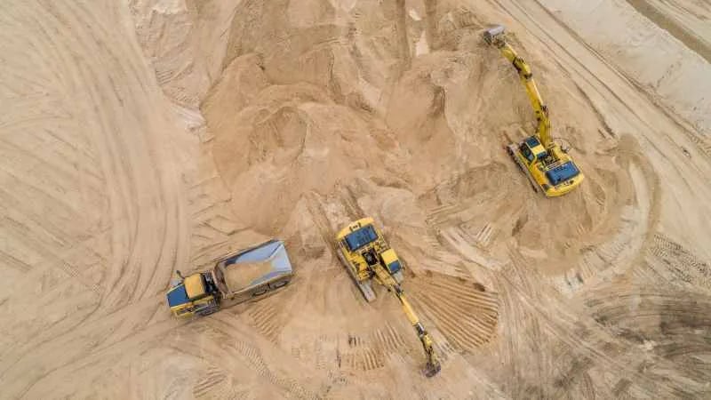
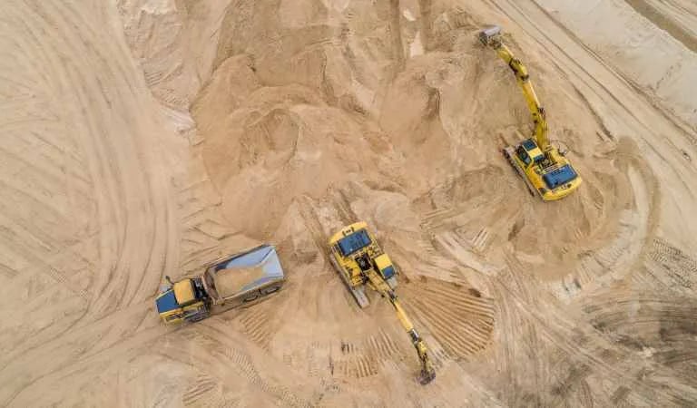
Site stockpile management and Agricultural stand count analysis with centimetre accurate analysis from our RTK drones helping you understand your farm or site in minute detail.
Construction + Agricultural Surveys
Drone Survey + Inspection
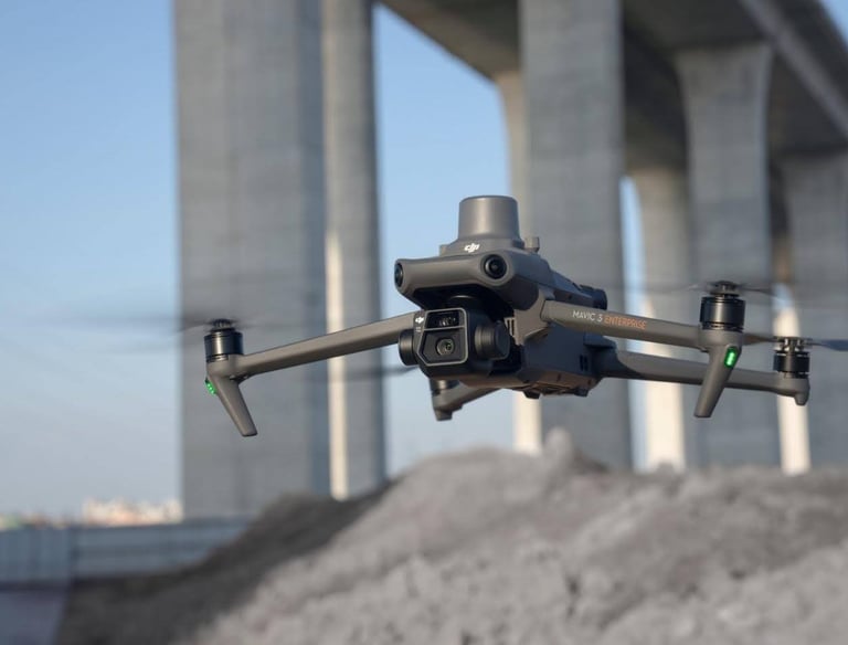
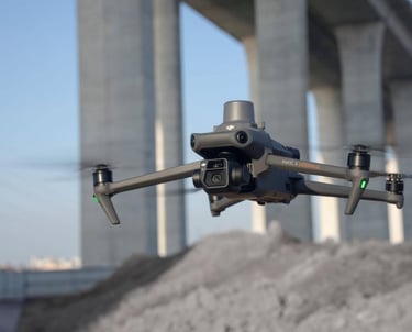
At Scott Aerial imaging, we utilise various drones for different functions. Our everyday workhorse is a DJI Mavic 4 Pro and where we have limited workspace for requirements for FPV (First Person View) footage we utilise the DJI Avata 2.
For more complex business use cases such as LiDAR scanning, 3D and thermal imaging we utilise the DJI Matrice 4T and the DJI Matrice 30T enterprise class drones. We can assist with your survey and inspection requirements in...
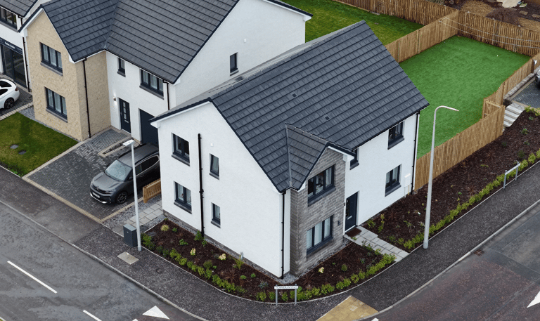
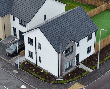
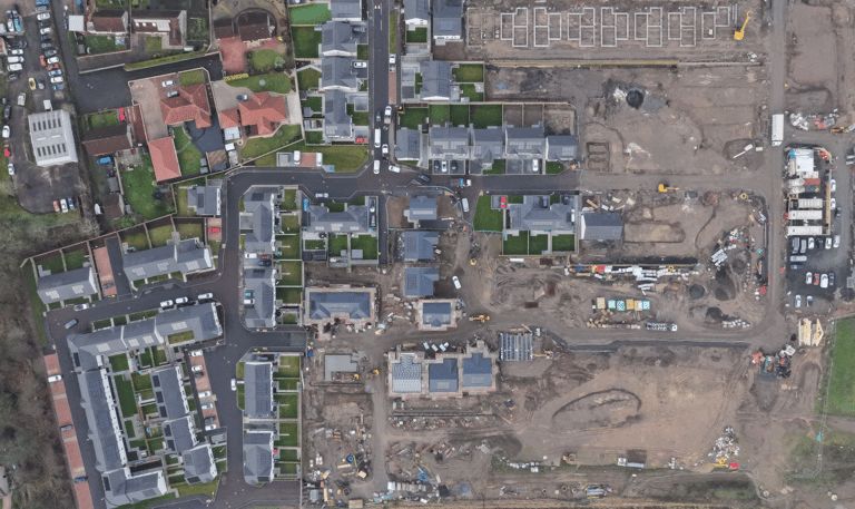
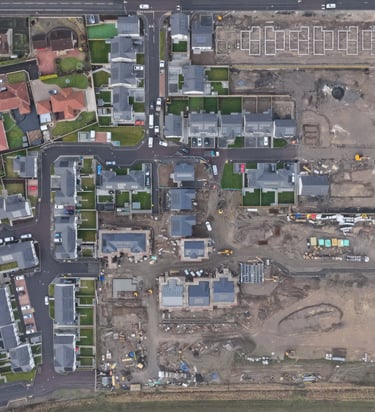
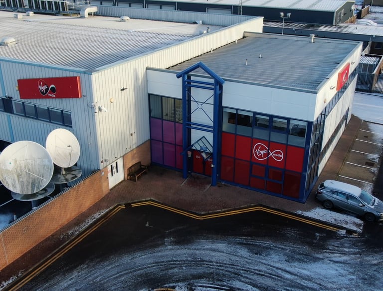
Construction Projects and New Build sites - Orthomosaic photogrammetry in conjunction with CAD to monitor site progress and setting.
Solar Array Surveys - Measurement and surveying for deployment coupled with inspection and Thermal surveys for already deployed arrays, we can support all your Solar deployment needs.
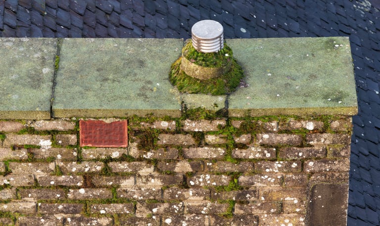
Structural Integrity and Inspections - Roof and structural damage surveys, 3D mapping and Thermal capabilities to validate building integrity and potential areas of water ingress.
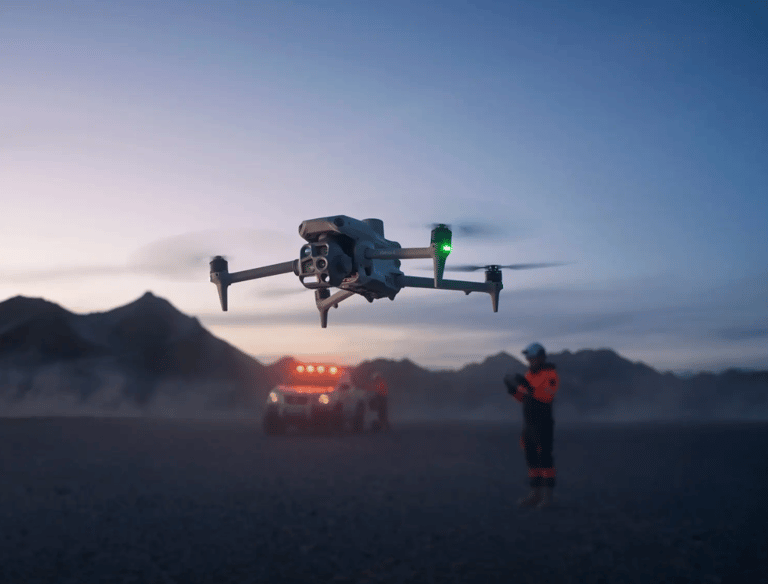
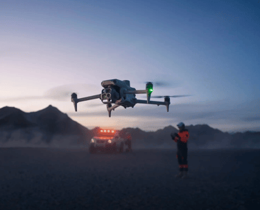
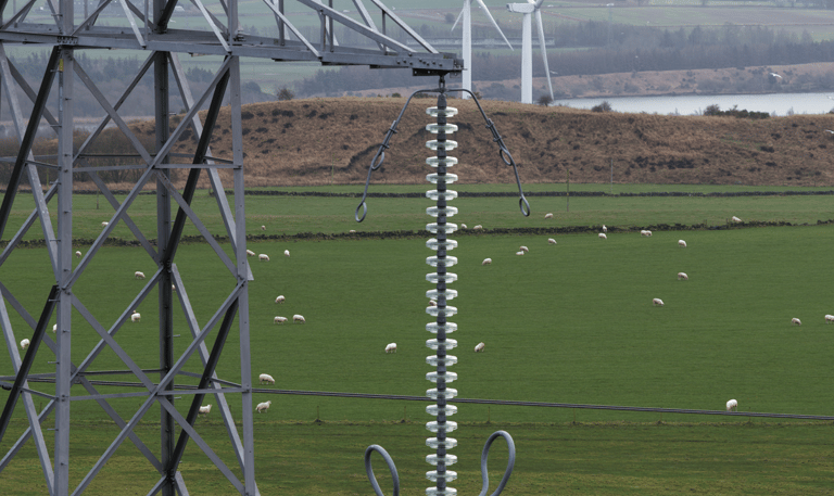
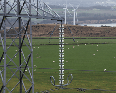
Overground Utility Inspections - Reducing the risk to human inspections, especially in dangerous locations such as high voltage power lines, railways and construction sites.
Confined spaces surveys - Tanks, Silos, Culverts, Pipelines - In areas of high hazard such as Silos, drone inspections can completely mitigate the health and safety risks and provide fast, reliable data.
Aerial and Ground Videography
We offer a full suite of content creation services to support your projects promotional requirements. Whether its aerial and ground footage for real estate listings, promotional content for New Build homes and Apartment buildings to covering your event from a new angle... we have the tools and experience to assist you.
For Real Estate, we can also help with property mapping and floor plan creations as well as providing Wi-Fi coverage maps for your properties to add that extra level of shine to your listings.
For Events, we can offer multiple camera views including both ground and aerial as well as support with live streaming events on top of video editing services for promotional content.
Construction and Agricultural Surveys
For the Construction Industry we can provide various on site aerial services from 3D Orthomosaic and Topographical ground mapping, long term subsidence scanning and stockpile management solutions to help take a lot of the manual work out of those tedious site tasks. We would love to show you on site exactly how we can support your build projects and deliver more value to your site promotional requirements with aerial photography and videography of your new properties as well.
In the Agricultural Sector, we can help with long term surveying of crop growth to map the efficacy of fertiliser use and potential areas of required attention, taking the guess work out of yield calculations. Get in touch so we can show how we can support you through the growing season. We can provide on site demos of various scanning techniques with centimetre level accurate scanning. In addition, confined spaces surveys may help with your maintenance requirements of silos and tanks on site, removing the need for human inspections.
"Scott Tech were a professional team, who gave us exactly what we needed, would highly recommend them for imaging services."
Jeff H.

★★★★★